
What Would Our Cities Look Like if Their Downtowns Had Not Been Torn Apart for Highways?
And to think it could have been worse.
As bad as America’s history of racially divisive highway construction is for Blacks and low-income residents, a new report shows how much worse it could have been if city officials were able to approve all their proposed highway plans — and lays out how much work still needs to be done to undo the damage.
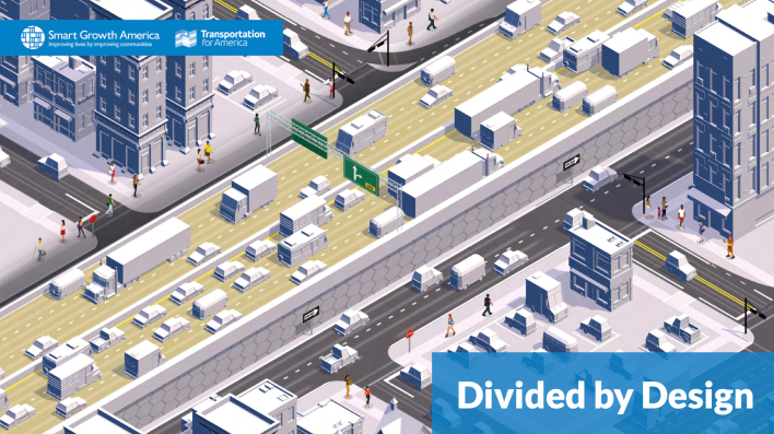
Focusing on the tale of two cities — Washington and Atlanta — the “Divided by Design” report released Wednesday by Smart Growth America shows of course how both were devastated by freeway plans that ripped through their downtown cores and how our nation’s transportation is designed in a way that it “creates and exacerbates inequities.”
“Until we create a system that is designed to produce more equal outcomes, outcomes that actually address the damage of the past, then we’re going to keep perpetuating that damage,” said Steve Davis, assistant vice president of Transportation Strategy for Smart Growth America and one of the authors of the report.
The report focused on the two largely Black cities because the displacement was so rampant — but also because both Meccas are filled with highway proposals that were not built.
Take Washington, at the time home to more than 750,000 residents, according to the report. In order to make way for I-395 and I-695 in the 1950s and ‘60s, city leaders displaced about 4,500 people, razed 1,400 occupied housing units, and destroyed 1,500 commercial buildings. In total, the District lost 311 acres and $3.3 billion in taxable land, according to 2021 DC assessments.
But if not for protests to more freeway plans, DC would have lost $6.8 billion in taxable land value, 6,300 homes, and a whopping 18,000 people would have been displaced, 60 percent of which would have been Black, according to the report. Right now in the corridors that staved off highway plans, are 224 active businesses, 47 office buildings, and 37 multifamily buildings, according to CoStar data highlighted in the report.
Atlanta follows a similar pattern. The ATL’s I-20 highway, built in 1955, served as a literal boundary between white and Black neighborhoods. The project goggled up 572 acres and $150 million in taxable land, according to 2021 Atlanta assessments, along the way displacing at least 7,500 people in 1960 and razing at least 2,200 homes.
But if city officials had been successful in also building I-485, slated to run from Ponce De Leon to Rock Springs Road, at least 5,300 people would have been displaced and the city would have lost out on $73 million in taxable land value. Right now, there are roughly 200 active businesses, 62 office buildings, and 95 multifamily buildings in the same area where officials wanted to place I-485.
Dangerous roads, dangerous policies
At the center of this latest report is a plea to fix the flawed thinking behind our past mistakes. For example, a central methodology used by the U.S. DOT is the value of time, which basically forces localities to prioritize vehicle movement, which is an “assumed” net positive for drivers and economic value for all. But is it?
Research articulated and amplified by the report shows that not only does the value of time not necessarily present real value, this guidance can hurt neighborhoods and marginalized communities. Decisions made to move cars as fast as possible, like building highways end up separating routes for other trips that are essential for people like grocery trips and doctor’s visits, but don’t align with the narrow use many planners make decisions for — i.e. commutes to and from work. Furthermore those decisions have a high cost on the country’s most vulnerable communities. As an example, Black or members of Indigenous communities are far more likely to be victims of traffic violence.
Solutions are complex and simple
So how do we build a more equitable system? To answer that, first you have to stop and realize that current policies are hurting people.
“First do no harm, you know: stop the expansion, stop the displacement, stop the dislocation of people,” Davis said. “It’s not enough to do a modest Reconnecting Communities project while we’re continuing [to spend] $40 to $50 billion on new roads.
“We will never catch up with repairing the damage if we’re using 10 times the amount of money to create the damage as we are to repair the damage,” Davis added. “That is a losing formula.”
Other recommendations for the DOT and local agencies include:
- Provide a more nuanced measure for all trips people, not just commutes to work.
- Update zoning and land use rules to make it easier for folks to get to jobs and essential services
- Offer a more detailed accounting of the negative impacts associated with with transportation investments, prioritize the safety of all users
- Create a more complex and faster way to account for traffic deaths in the US
The latest “Divided by Design” report is not only a call to action for the feds, but a tool advocates can use to hold officials accountable.
“We want the people that are responsible for the system to understand that there’s better ways to measure success, and we want them to do that,” Davis said. “But on the flip side, on the advocate side, we want them to understand how to push back.”
The post What Would Our Cities Look Like if Their Downtowns Had Not Been Torn Apart for Highways? appeared first on Streetsblog USA.
source https://usa.streetsblog.org/2023/07/14/what-would-our-cities-look-like-if-their-downtowns-had-not-been-torn-apart-for-highways
Comments
Post a Comment